Impacts of Mercury Amalgamation Mining Activities in Guyana
Heavy
Metal Projects
Rio Pilcomoyo, Bolivia | Guyana
| Geochemical
Fingerprinting
___________________________________________________
![]()
![]()
![]()
Heavy
Metals
Stream
Restoration
Sediment Generation
and Transport
![]()
![]()
![]()
Principal Investigators
Jerry R. Miller, Department of Geosciences & Natural Resources Management, Western Carolina University, Cullowhee, NC 28786
Paul J. Lechler, Nevada Bureau of Mines and Geology, University of Nevada, Reno Gavin Bridge, Department of Geography, 100 East Boyd Street, Norman Oklahoma 73019
Cooperating Institutions
- Guyana
Geology and Mines Commission, Georgetown, Guyana
-Ms. Karen Livan, Manager Environmental Division
Funding Sources
- National Geographic Society
Project Overview
The use of mercury (Hg) to extract gold from river bed deposits is widespread
in South America, particularly within the humid tropics. One of the primary
drawbacks of Hg utilization is its release to the environment, and its
potential impacts on the world's largest remaining humid, tropical ecosystem.
Although accurate estimates are difficult to obtain, Malm (1998) suggests
that as much as 240 tons of Hg are released into the environment annually
from mining operations in the Brazilian Amazon, Venezuela, Colombia, and
the Pando Department of Bolivia. Hg from amalgamation mining is also lost
to the environment in Ecuador, French Guiana, Guyana, and Suriname. Of
the total Hg released, a little more than half is thought to be lost to
the atmosphere during the burning of the amalgam (Pfeiffer and Lacerda,
1988; Hacon, 1991; Pfeiffer et al. 1993). The remainder is predominately
released into rivers or lakes.
During the past decade, a significant and intense debate has developed regarding the significance of amalgamation mining as a Hg source in terms of the total Hg load observed in aquatic systems of the tropics. Recent studies have suggested that much of the Hg is stored in ferralitic soils and when these soils are eroded, Hg is carried to the rivers with the soil particles. A number of studies have suggested, then, that soil erosion that accompanies deforestation is the primary source of Hg to the rivers. While the debate continues, it appears certain that (1) Hg sources other than mining must be considered as important contributors of the metal to aquatic environments in the humid tropics, and (2) the relations between mining, Hg cycling in the humid tropics of South America is more complicated than originally envisioned. Of particular importance is the possibility that Hg can be released to the river systems at accelerated rates by the erosion of deforested terrain, and that, at a regional scale, this represents the primary source of Hg to the tropical river systems in much of South America. If this is the case, then one would expect closer spatial relationships between mine sites and Hg concentrations in the various media where deforestation is limited.
The primary objective of this project is to provide baseline data to facilitate the design of regulatory codes that will allow the Guyanese government to capture the socio-economic benefits of mining while protecting the region's natural resources.
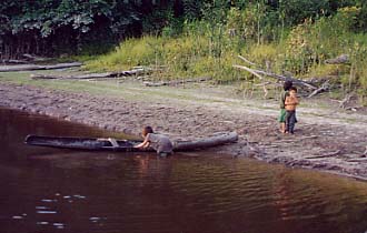
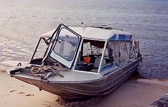
The research proposed here will focus on the methods to obtain sound geochemical baseline data in aquatic environments, the need for accurate, timely base-line data on environmental quality in the regulatory process, and on the need for regulatory mechanisms to address the potential conflicts that may arise between large-scale (predominantly foreign owned, open-pit) mining operations and small-scale, informal miners (as well as other land-user groups). Our recent investigations, funded by the National Geographic Society, are intended to: (1) identify the location and extent of both historic and contemporary mining operations in Guyana with reference to major drainage systems, forest lands, and other ecologically-significant areas; (2) quantify the use of a geomorphic-geochemical approach for the collection of baseline data in polluted and unpolluted river systems; (3) assess the implications of the findings from goals #1, #2, and #3 (above) for the design of regulatory codes. Photographs of Field Work in 2000